Mobile phones have long begun to supplant conventional GPS navigators from the market and there are at least a few reasons for this. A smartphone can combine many functions, and the navigator on the phone will be just one of them. In addition, any navigator will envy their performance and accessibility. The only thing they can not compare with is in work, offline. After all, far from always there is access to a fast Internet connection, especially when driving on a high-speed highway remote from the city. Therefore, it is important to have at hand a program that can work stably and get directions, even without connecting to a worldwide network.
Next, we will talk about the 5 best programs that will help to continue the route without connecting to the Internet, and talk about the offline functions of the application.
Google maps
Program logo
Google Maps takes one of the leading positions among users, and all thanks to the fact that this application is installed on every Android smartphone. Its main feature is the support of road maps of almost all countries of the world, therefore it is a great solution for travelers who want to travel the whole world.
The company has long been working on opportunities and optimizing its product. Therefore, basically, even on weak smartphones, the application does not cause complaints or errors, although it does not always respond in time to updating information. In general, this is the easiest Android navigator available without the Internet.
Distribution type - free.
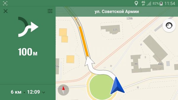
Get directions through the app
Benefits:
- A huge number of maps available around the world. Not all competitors in the market can offer this feature. Moreover, the relevance of maps is constantly updated.
- The ability to download maps zonally, choosing the right place on the map, rather than regions or cities, as is usually the case in other applications. This allows you to save space if you need only a certain area of the city or, conversely, when you need to capture suburban areas.
- With the beginning of the work of the “Assistant,” it became possible to pave the way with the help of voice commands, which greatly simplifies the work with maps while driving. Suffice it to say, “Okay, Google get directions to ...” and the program will automatically pave the way from your current location.
- In offline mode, the main and important places are signed. Therefore, even without the Internet, it will not be a problem to find a gas station nearby, a large fast food or a hospital.
Disadvantages:
- Due to its mass characterization, the detail and accuracy of maps of some regions can be noticeably lame, therefore sometimes at the place where the road is located - it may not yet be on the map or, on the contrary, repairs can be carried out along the laid route. But, in general, many suffer from this problem.
Yandex.Navigator

Application logo
This application was created by domestic developers and perfectly shows itself in practice. The main and important part of this development is its detailing, which not all programs can boast of. All thanks to the fact that Yandex worked out in detail maps of the entire territory of Russia and the CIS. However, when traveling to Europe or other countries, the user risks being left without a high-quality map, therefore this aspect can be called both a plus and a minus. There are no complaints about the technical part and design, since the program works stably.
Distribution type - free.
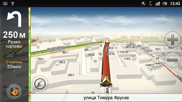
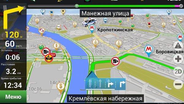
Yandex Navigator program interface
Benefits:
- A detailed study of the map scheme, which is constantly updated up to the name of the street. Therefore, in comparison, Google Maps loses in relevance of the information provided. On offline maps, there are many establishments that are conveniently sorted using the menu to select the desired location, be it a pharmacy, restaurant or ATM.
- Voice assistant allows you to instantly build a path to the right place, just say “Listen, Yandex” and name the address of the following. Recently, Alisa’s company assistant was launched in test mode and now you can say “Alice, pave the way to the nearest pharmacy” and she will automatically find the nearest place and pave the way.
- The application gives a choice of what type of map to download: city or the entire region. This, of course, is not a zonal choice, but still a rather convenient way that allows you to conveniently sort the available places.
Disadvantages:
- Poorly designed maps of Europe, which significantly complicates travel abroad the territory of the CIS countries.
- It is not always correct to pave the road offline, which requires manual intervention and adjustment.
2GIS
2GIS application logo
This company has been operating since 1999 and has been producing cartographic guides, and then developed the application of the same name called 2GIS navigator. This development has become popular due to its detailing of objects located on the ground.
So, using 2GIS, the user has the opportunity to view the scheme of buildings, down to each floor. In the case of shopping centers, even shops will be displayed on the building schemes. Information is constantly updated, thanks to the work of a special department of the company, which calls the company and clarifies whether there are any changes. Due to such accuracy, the program has occupied its niche in the market.
Distribution type - free.
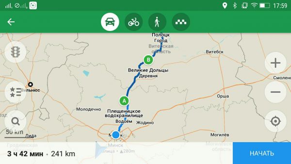
2GIS Interface
Benefits:
- Nice design and user-friendly interface allows you to quickly find the right place on the map and get directions to it. At the same time, supplementing the marks of visits directly during the movement, also, if necessary, the application will offer the best places to visit nearby by selecting them by rating from its database.
- Thanks to work with other services, such as 2GIS Pharmacy, using the application you can find the best pharmacy in the area and compare prices for goods. However, sometimes you need to connect to the Internet to update the database.
- Since the program is a domestic development, it has no problems with the accuracy of maps in the CIS, and sometimes their sophistication is much higher than that of any other competitor, especially in regions or small cities.
Disadvantages:
- A database with many enterprises is both a plus and a big minus. Many users complain that the product is constantly imposed on them by some institution. Often, such actions are an advertising move in order to promote a particular institution among users of the program.
- The situation with cards abroad in the CIS is even more pitiable than with the program from Yandex, they are simply not there.
Navitel

Navitel company logo
The history of this program began with simple car navigators, where Navitel is the undisputed leader. However, in the telephone field, the company has much stronger competitors in detail and performance.
One of Navitel’s problems is its pricing policy, the user is given a 7-day trial period of using the program, after which you need to buy maps of individual cities or countries. This application will be the best solution for people who need a map of only one city, at least this is the most profitable use case. Navitel is the best navigator on the Android system, but this is not surprising, since paid solutions are always ahead of free ones.
Type of distribution - paid.A package with a certain country costs from 1000-2000 rubles. A package with a specific region from 500 - 1000 rubles.
Navitel interface
Benefits:
- Due to the fact that Navitel uses a connection to its own GPS satellites, which work with their usual car navigators, this allows you to receive advanced information about the state of the roads. So, for example, the user in offline mode will receive information about surveillance cameras, road radars, speed bumps and traffic police stations. Therefore, their navigator on an Android system without the Internet is in no way inferior to other products with the Internet.
- Maps are worked out to the smallest detail, which allows you to lay a variety of routes, and powerful satellites instantly rebuild the route if the driver missed the desired turn or drove in the wrong direction.
- Access to well-developed maps of more than 60 countries, which developers have combined into several packages to save money and availability.
- A wide variety of voices for road assistants, and even custom variations of teams or famous personalities are available, which you can download yourself.
Disadvantages:
- The main disadvantage of this program is still its price. People who plan to travel a lot will have to spend a lot of money to purchase all the required packages.
MAPS.ME

Company `s logo
The main feature of this development is its frequency of updates - relevant information appears literally every day. All this is possible due to the fact that each user can contribute and supplement the map with new information about the store that has appeared, the park that has opened, the public garden and so on. Therefore, the application constantly offers new routes to this or that place. If you connect your smartphone to the Internet, then all the information will be instantly updated and saved until the next Internet access.
Distribution type - free.
Interface MAPS.ME
Benefits:
- Information is updated daily, which helps to keep the map up to date. In this case, you do not have to worry that some changes are false, as they undergo preliminary testing by the developers.
- The application uses maps with highly detailed terrain, which makes it one of the best of its kind.
Disadvantages:
- Due to the high detail of the area, the application takes up a lot of space on the phone, which for some models can become a critical drawback.